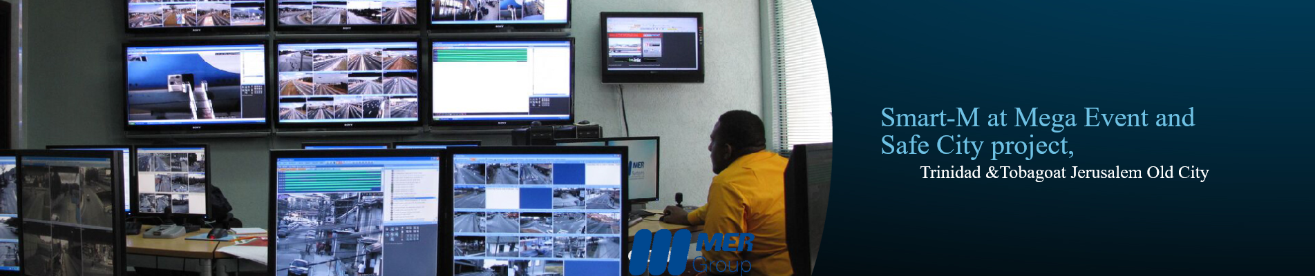
Smart-M is a market-leading powerful IOC (Intelligent Operations Center) Platform System. The system provides comprehensive and robust information sources fusion, command and control abilities; situation awareness features in a built-in single graphical geographical information system. All tied in with advanced managing, investigative and analysis capabilities. The systems encapsulate decades of experience in field conditions in projects such as the Athens Olympic Games, Israel Parliament, IDF, Buenos Aires Federal Police, Tel Aviv City, Rishon Lezion City, and more. The platform serves municipalities worldwide, airports, police forces, security operations, facility managers…
Smart-M unifies disparate smart measures into a single interconnected control panel that integrates all data, sensors, and cameras in the facility and provides a rich management & control layer including decision making support, reporting, evidence gathering, KPI management and more. It provides a comprehensive command and control abilities, situation awareness features and a built-in geographical information system (GIS) and presents operators with a comprehensive view of the situation to ensure tight control of the facility.
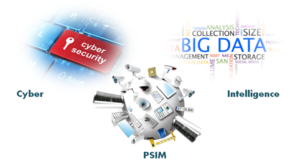
Smart-M supplies an overall picture of the present situation regarding all cyber, IT and physical equipment and facilitates.
Smart-M is the connecting link between the integration of multiple data provider, third-party subsystems like smart lighting, Environment, traffic, video surveillance, access control, fire alarms, LPR and more. And Smart-M also will be the central point of control enabling the controlling all the different sensors (e.g., Cameras, Sensors, Panic buttons, etc.)
Smart-M is responsible for receiving and displaying a general overview of everything taking place in your sites.
The Smart-M is modular and fully customizable. It allows the future extension to additional interfaces, abilities and activity capacities.
The general operational modules of the systems.
- Dashboards
- GIS and its unique functionality
- Activities management (including powerful CONOP engine)
- Sensor Management (while CCTV is one of the colexed)
- Data Management and updates
- Big Data Business Intelligence
- Rules Base engines and analytics
- Administration & Reporting